Build a Location Based App That Responds to Where the User Actually Stands with AI
Create your location based app in minutes with AI. Power geofencing, proximity alerts, location analytics, and spatial search without coding.










Why Emergent for Location Based Apps?
Location apps that fire the wrong alert at the wrong place train users to disable notifications forever. On Emergent, describe what you need and it builds your location based app.
| Traditional Builders |  |
|
|---|---|---|
| Creation & Setup | Limited templates with lengthy setup and multiple manual steps | Fully customizable location based app created instantly using plain English prompts |
| Design | Limited design flexibility | AI-driven, personalized design layouts that match your brand |
| Location Logic | No geofence or proximity fields | Handle geofences and proximity natively using prompts |
| Custom Domain | Requires purchasing a domain and manual DNS configuration setup | Just share your domain. We handle DNS setup with SSL included |
| Time to Launch | Can take up to days and weeks | Launch in just a few minutes to hours |
| Payment & Checkout | Limited plugins and integrations | Accept global payments in any currency by connecting gateways with API keys |
| Spatial Search | Spatial queries need custom database indexing | Run spatial searches through prompts |
| SEO | Basic tools with heavy manual effort | Improve SEO instantly using prompts. No technical setup needed |
| Scaling | Limited scalability with performance constraints and risk of data loss | Scale your app anytime by reopening the chat and expanding with prompts |
| Maintenance & Updates | Requires manual updates, bug fixes, and ongoing management | Easily update and improve your app anytime using simple prompts |

How a Location Based App Earns Its Place
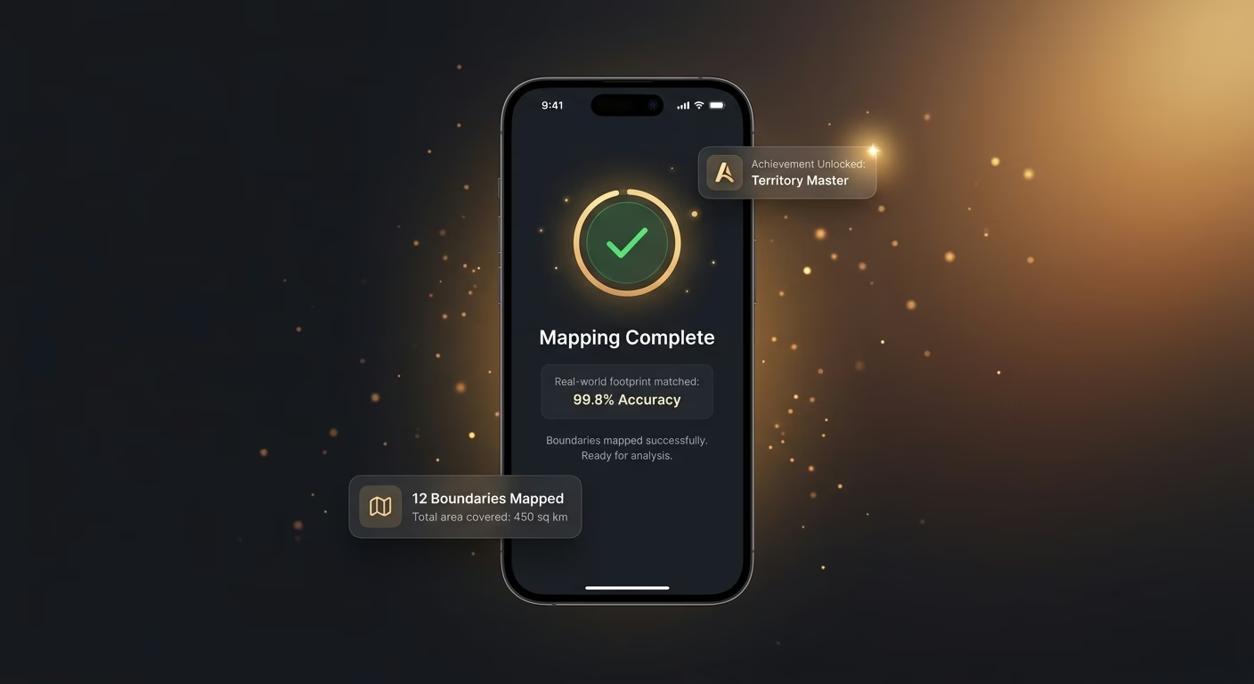
Boundaries mapped to match the real footprint
Polygonal shapes and elevation-aware boundaries handle real geography, so triggers fire on entry to the right places and only those.
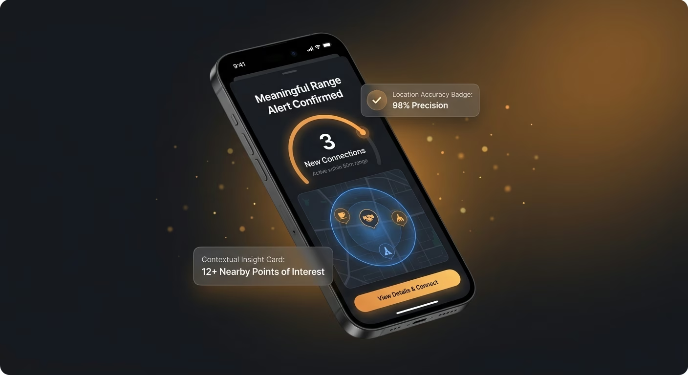
Alerts firing only at meaningful range
Fine-grained radius and dwell time thresholds gate messages, so notifications land when they help and stay quiet otherwise.
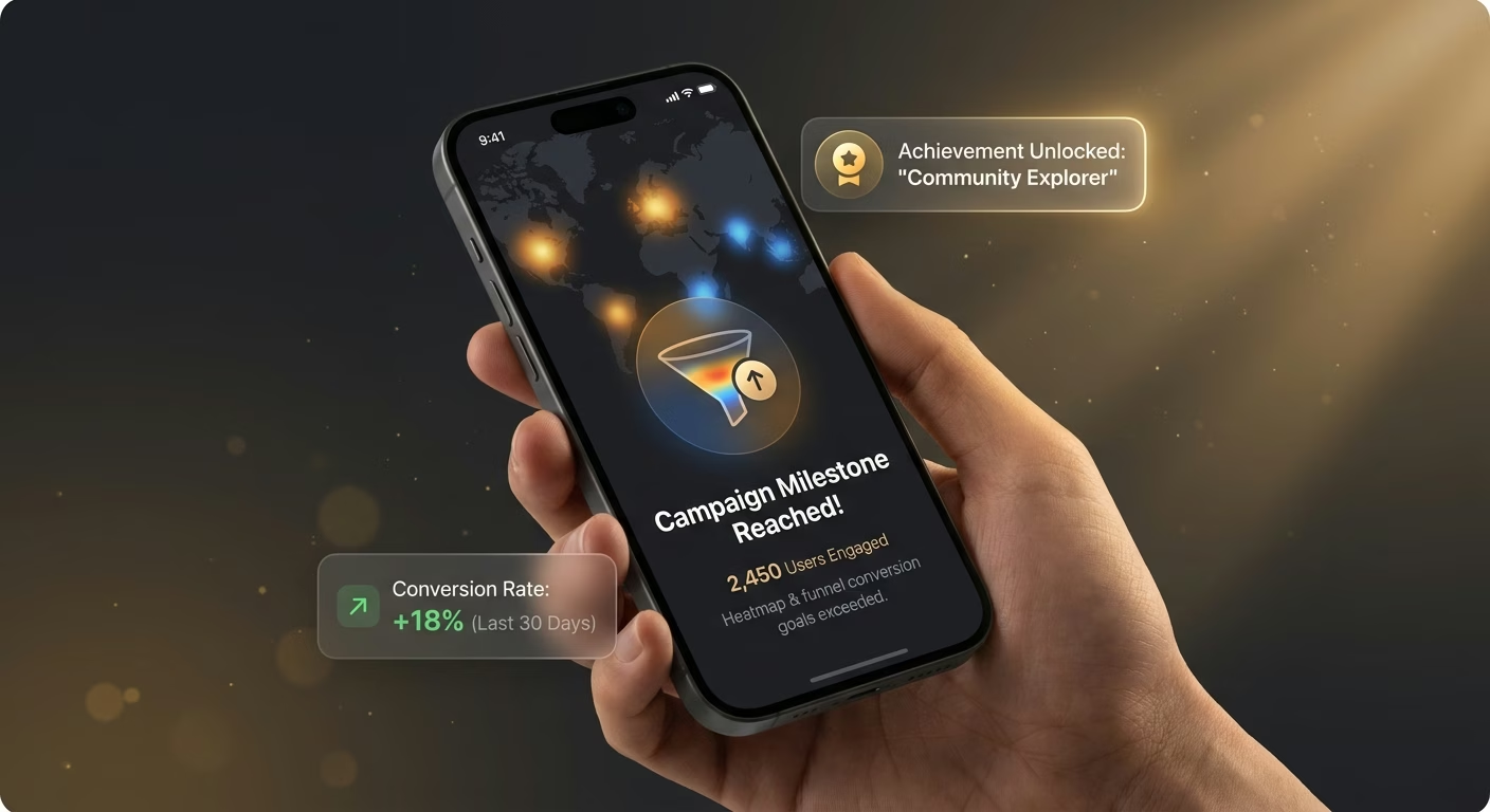
Heatmaps and funnels showing real usage
Aggregated visit data becomes visual patterns, so location decisions rest on evidence rather than assumption.
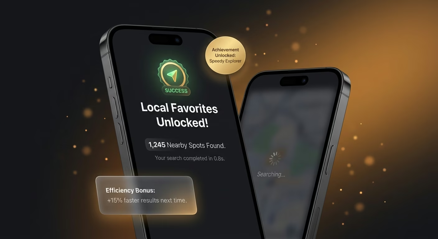
Local searches responding in perceptible time
Spatial indexes and nearest-neighbor lookups run fast, so queries feel instant even at scale.
How Emergent Turns Your Idea Into an App
Create a location based app that manages geofencing, proximity alerts, location analytics, spatial search, and location operations from one platform.





Respond to Where the User Actually Stands
Give the app place awareness that translates into measurable engagement.

End-to-end app development for your business
Turn ideas and spreadsheets into fully functional internal apps your team can actually use, not just plan on paper.
 Describe, don’t code:Write what you need in plain language and instantly generate the layout, components, and logic.
- Full UI in one go:Create full pages with forms, tables, filters, and charts in a single automated pass.
- Use the data you already have:Connect your spreadsheets or datasets quickly and turn them into interactive dashboards.
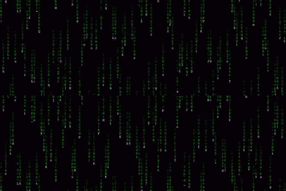
Geofences drawn precisely around real places
Loose boundaries fire false alerts. Fence infrastructure supports polygonal shapes and elevation aware boundaries so triggers match the actual footprint.
- Polygonal fence support
- Elevation-aware boundaries
- Nested and overlapping zones
- Fence versioning history
End-to-end app development for your business
Turn ideas and spreadsheets into fully functional internal apps your team can actually use, not just plan on paper.
- Describe, don’t code:Write what you need in plain language and instantly generate the layout, components, and logic.
- Full UI in one go:Create full pages with forms, tables, filters, and charts in a single automated pass.
- Use the data you already have:Connect your spreadsheets or datasets quickly and turn them into interactive dashboards.
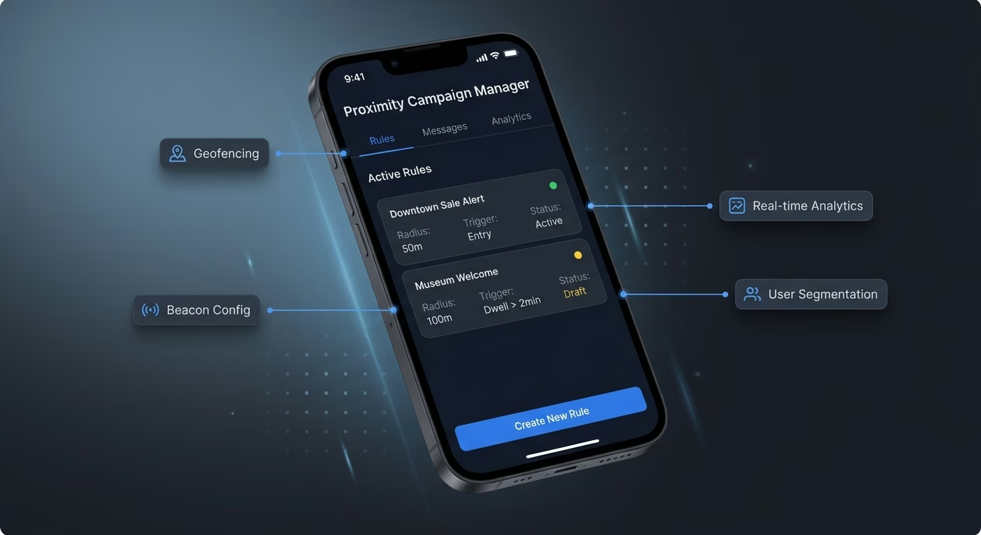
Proximity messages that hit at the right distance
Blanket radius fails precision. Proximity infrastructure supports fine-grained ranges and dwell time so alerts fire when meaningful, not just when technically possible.
- Fine-grained radius control
- Dwell time thresholds
- Speed-aware triggering
- Battery-optimized polling
End-to-end app development for your business
Turn ideas and spreadsheets into fully functional internal apps your team can actually use, not just plan on paper.
- Describe, don’t code:Write what you need in plain language and instantly generate the layout, components, and logic.
- Full UI in one go:Create full pages with forms, tables, filters, and charts in a single automated pass.
- Use the data you already have:Connect your spreadsheets or datasets quickly and turn them into interactive dashboards.
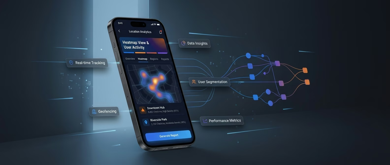
Analytics that reveal the heat behind the map
Row-based reports hide patterns. Analytics infrastructure aggregates visits into heatmaps, funnels, and cohort views so real behavior becomes visible.
- Visit heatmaps
- Dwell time analysis
- Path and flow visualization
- Cohort behavior comparison
End-to-end app development for your business
Turn ideas and spreadsheets into fully functional internal apps your team can actually use, not just plan on paper.
- Describe, don’t code:Write what you need in plain language and instantly generate the layout, components, and logic.
- Full UI in one go:Create full pages with forms, tables, filters, and charts in a single automated pass.
- Use the data you already have:Connect your spreadsheets or datasets quickly and turn them into interactive dashboards.
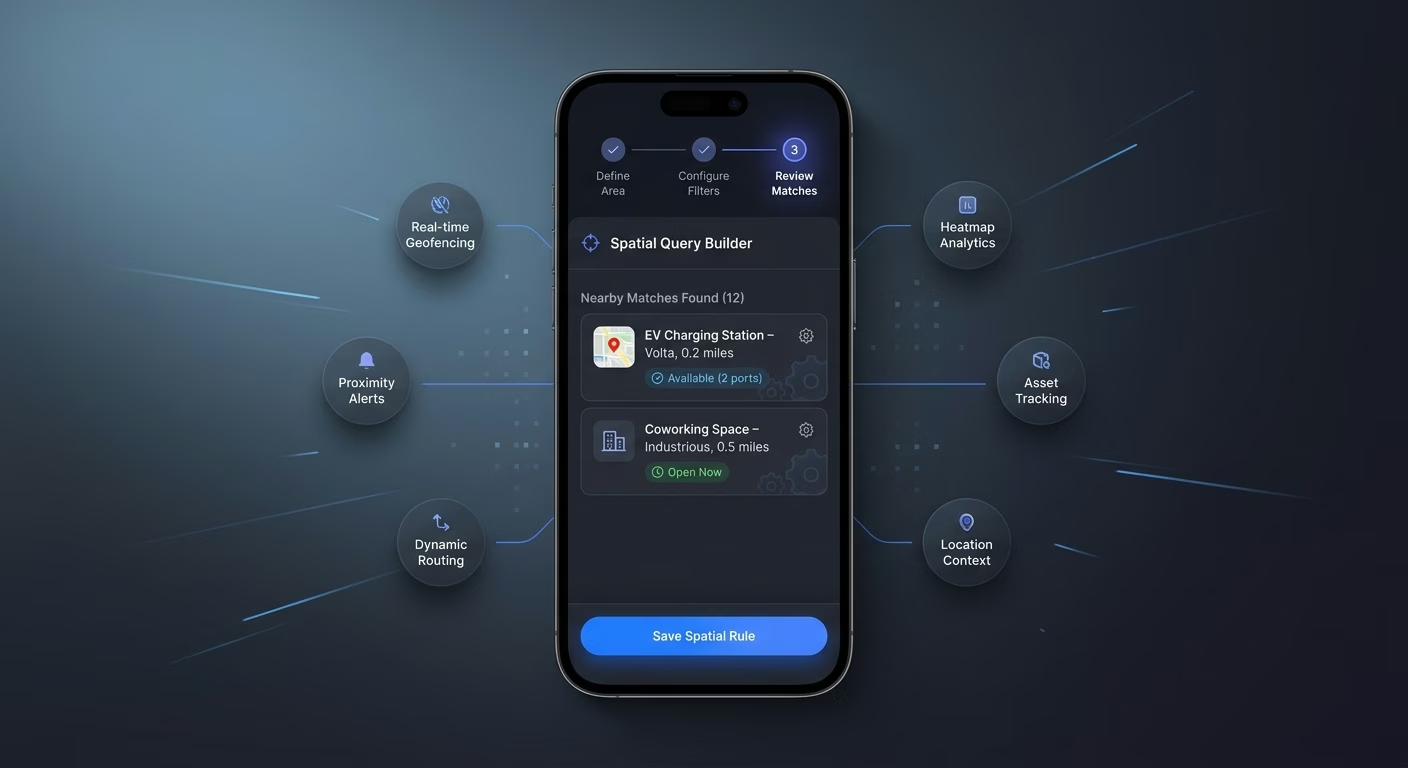
Spatial queries returning nearby matches fast
Slow searches lose users. Search infrastructure indexes places by coordinates so queries return relevant hits within perceptible response time.
- Radius and bounding-box queries
- Nearest-neighbor lookups
- Attribute-filtered spatial search
- Query result ranking
Connect Your Spatial Stack
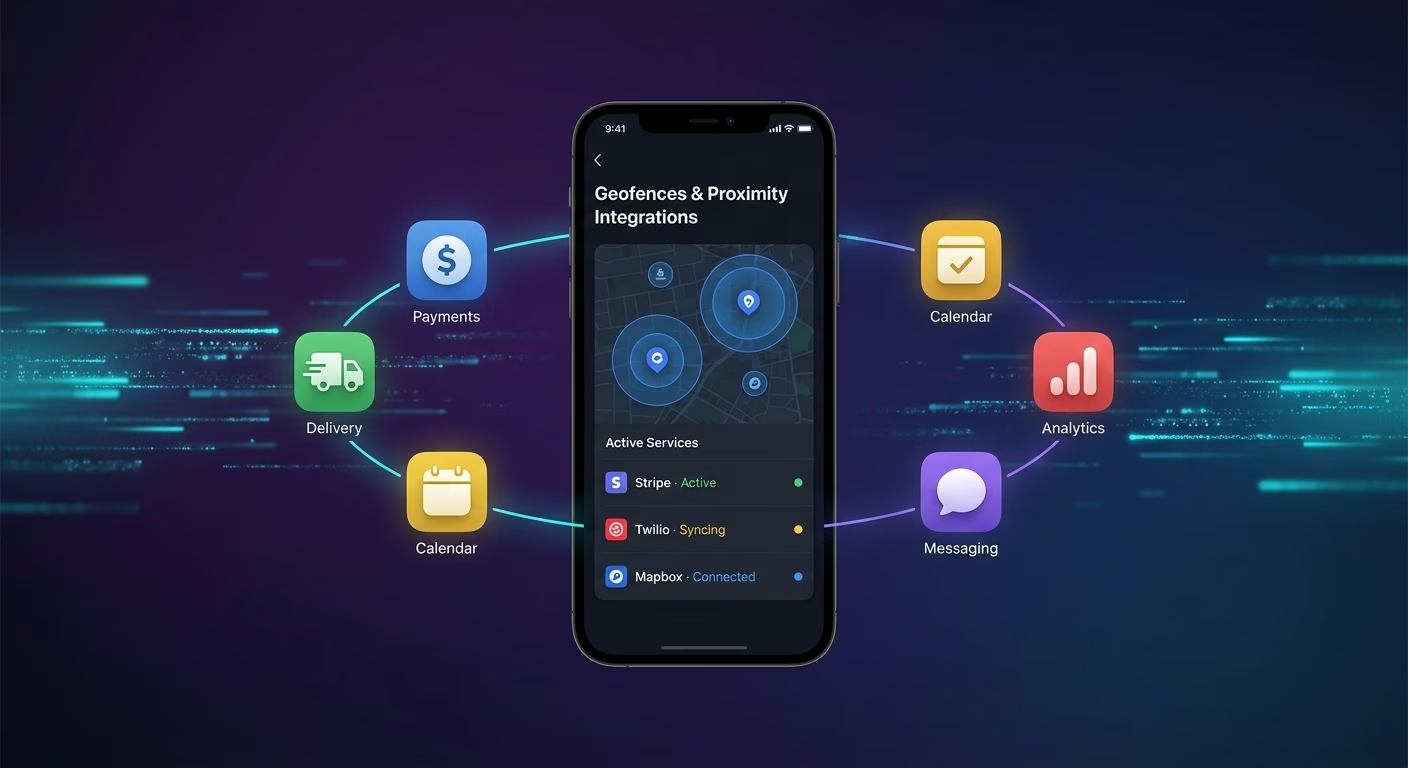
Geofences & Proximity
Coordinate geofence boundaries and proximity trigger rules across one workspace
- Geofence definition tools
- Proximity trigger services
- Boundary rendering libraries
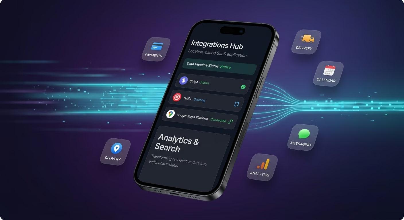
Analytics & Search
Sync location analytics and spatial search indexes across every session
- Location analytics engines
- Spatial index services
- Heatmap visualization tools
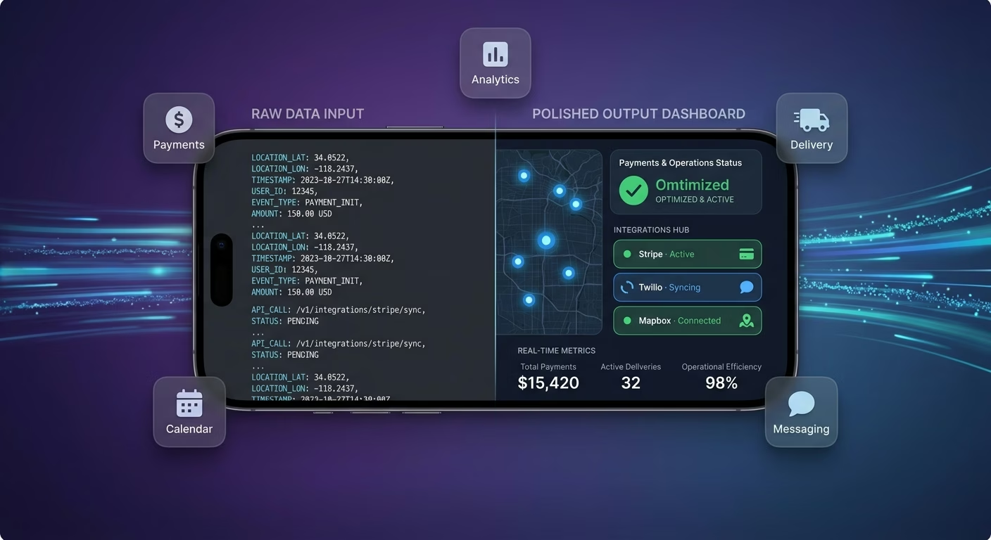
Payments & Operations
Connect Stripe, PayPal or Razorpay and operational tools through APIs
- Payment infrastructure
- Subscription tools
- Location operations systems
Places And Presence, Connected
Precision suffers when geofence definitions, proximity triggers, and spatial searches scatter across disconnected tools, so Emergent connects external systems through APIs and everything stays aligned as coverage expands.

How to Create a Location Based App
Create a location based app that manages geofencing, proximity alerts, location analytics, spatial search, and location operations from one platform.
01 Choose the right app building approach
You can hire a developer, use a traditional app builder, or use an AI-powered platform like Emergent. AI app builders help location founders and product teams launch and manage location apps without technical complexity or extended development timelines.
02 Plan your geofence and proximity workflows
Decide how geofences should draw, how proximity should trigger, how analytics should collect, how searches should respond, and how operators should review before building.
03 Build your location based app
Describe your coverage area, trigger conditions, analytics needs, and search radius, and the app is generated around your actual location workflows.
04 Add geofence systems and proximity workflows
Set up geofencing, proximity alerts, location analytics, and spatial search so the app responds intelligently to where users are.
05 Connect payments and operational tools
Connect payment gateways like Stripe, PayPal, or Razorpay alongside geofence definition tools, proximity trigger services, location analytics engines, and notification infrastructure to support location operations. On Emergent, these systems can be connected easily through APIs.
06 Test the app before publishing
Check geofencing, proximity alerts, location analytics, spatial search, mobile performance, and operator experience before launch.
07 Publish and grow your location based app
Launch the app and continue managing geofences, alerts, and searches as coverage expands.
Turn Location Data Into Contextual Value
Apps that fire the right message when a user enters the right place capture attention rivals miss entirely, while generic push notifications get muted within a week of install.
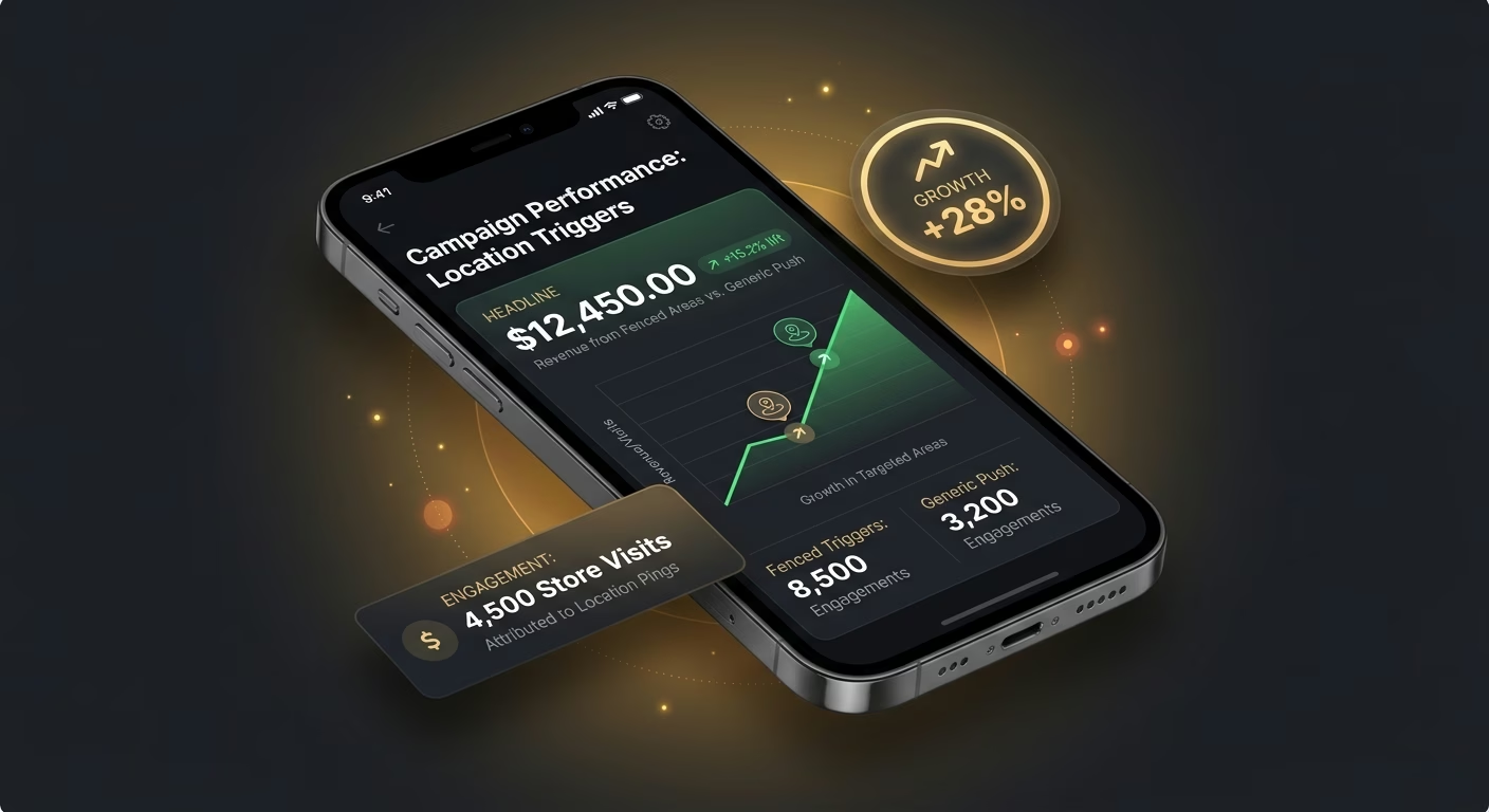
Fenced triggers beat generic push
A discount pushed to everyone captures nobody, and the app that fires the offer only when the shopper walks past the store front turns location into conversion.
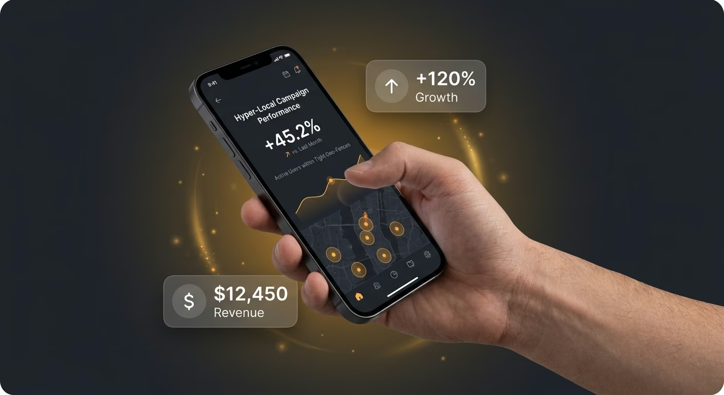
Tight ranges avoid notification fatigue
Constant alerts train users to mute, and the platform firing messages only at meaningful distance from meaningful places earns opens that spam never does.
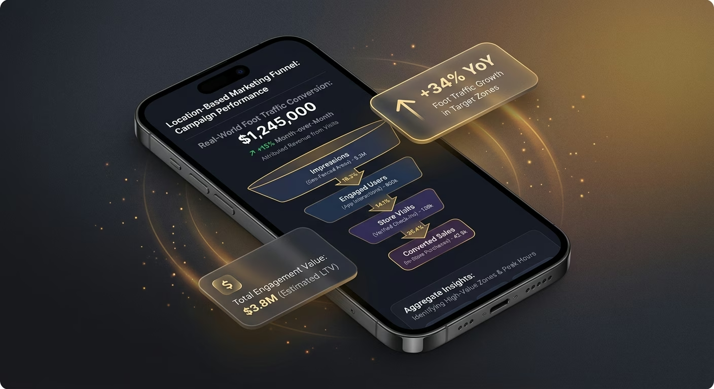
Aggregate patterns invisible in flat tables
A time-series report cannot show that visits cluster around specific intersections, and the heatmap that surfaces those hotspots redirects marketing spend to where users actually are.
Pick the Pricing Plan That Works for You
Choose the plan that fits your building ambitions. From weekend projects to enterprise applications, we've got you covered.




Find the Right App Builder
for Your Business
Frequently Asked Questions
Your Questions, Answered
Don't change this element unless you know what you are doing
on Emergent today