Build a Map App That Renders Rich, Layered Geography Users Can Actually Use with AI
Create your map app in minutes with AI. Power map rendering, layer management, point of interest, and route directions without coding.










Why Emergent for Map Apps?
Generic map embeds satisfy no serious use case beyond directions. On Emergent, describe what you need and it builds your map app.
| Traditional Builders |  |
|
|---|---|---|
| Creation & Setup | Limited templates with lengthy setup and multiple manual steps | Fully customizable map app created instantly using plain English prompts |
| Design | Limited design flexibility | AI-driven, personalized design layouts that match your brand |
| Map Logic | No layer or POI fields | Handle layers and POIs natively using prompts |
| Custom Domain | Requires purchasing a domain and manual DNS configuration setup | Just share your domain. We handle DNS setup with SSL included |
| Time to Launch | Can take up to days and weeks | Launch in just a few minutes to hours |
| Payment & Checkout | Limited plugins and integrations | Accept global payments in any currency by connecting gateways with API keys |
| Routing | Routing engines require enterprise licensing | Route directions through prompts |
| SEO | Basic tools with heavy manual effort | Improve SEO instantly using prompts. No technical setup needed |
| Scaling | Limited scalability with performance constraints and risk of data loss | Scale your app anytime by reopening the chat and expanding with prompts |
| Maintenance & Updates | Requires manual updates, bug fixes, and ongoing management | Easily update and improve your app anytime using simple prompts |

The Case for a Map App
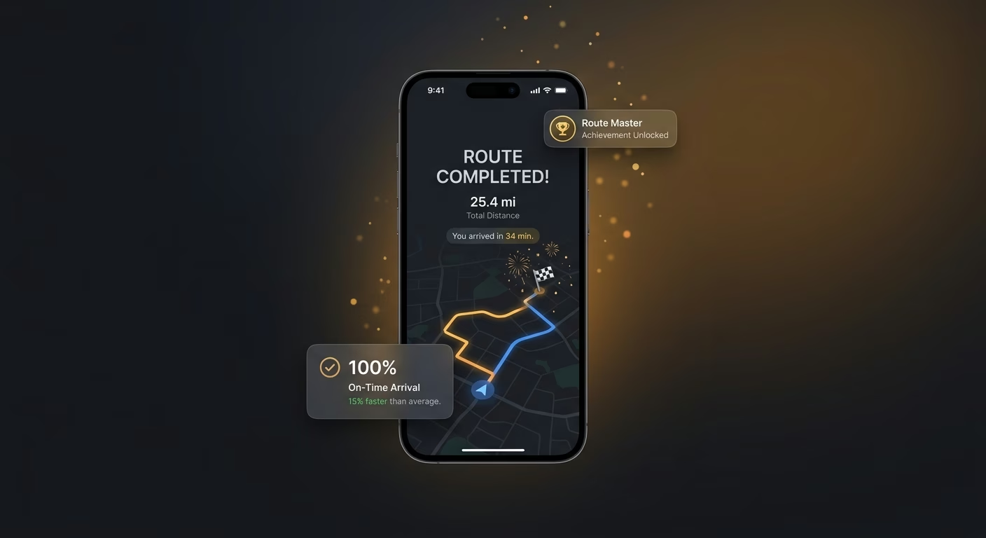
Base maps styled to fit the surrounding identity
Full custom style support and mode variants adapt the base map, so geography carries the visual identity that surrounds it.
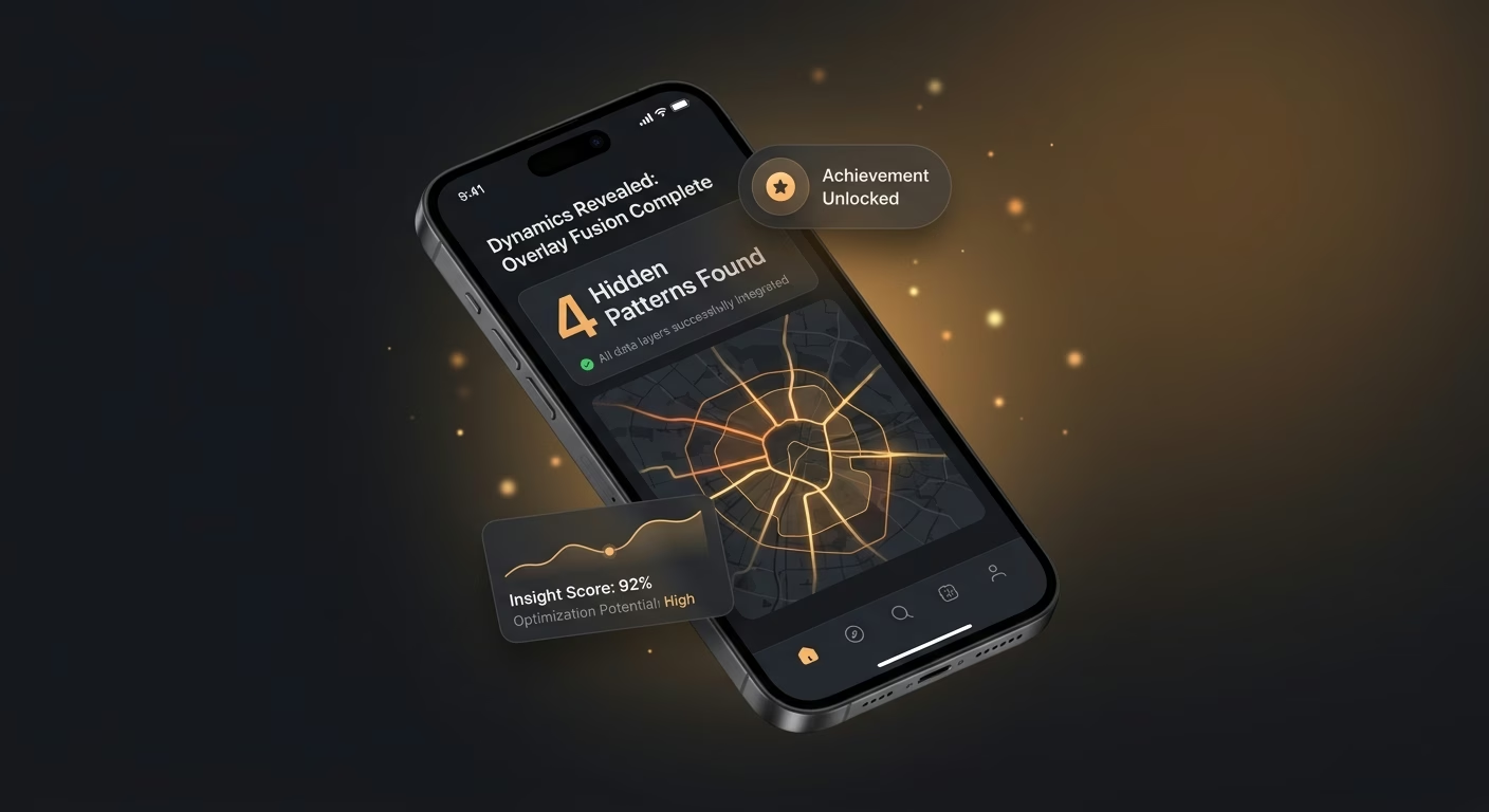
Overlays combined to surface hidden dynamics
Opacity controls, layer groups, and toggle switching combine overlays, so insight emerges from data geography alone cannot show.
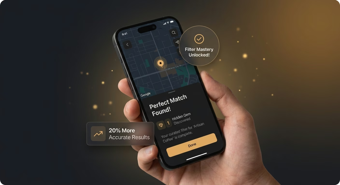
POI filtering that finds the correct place
Category, distance, and attribute filters narrow the pins, so users find the right place instead of drowning in markers.
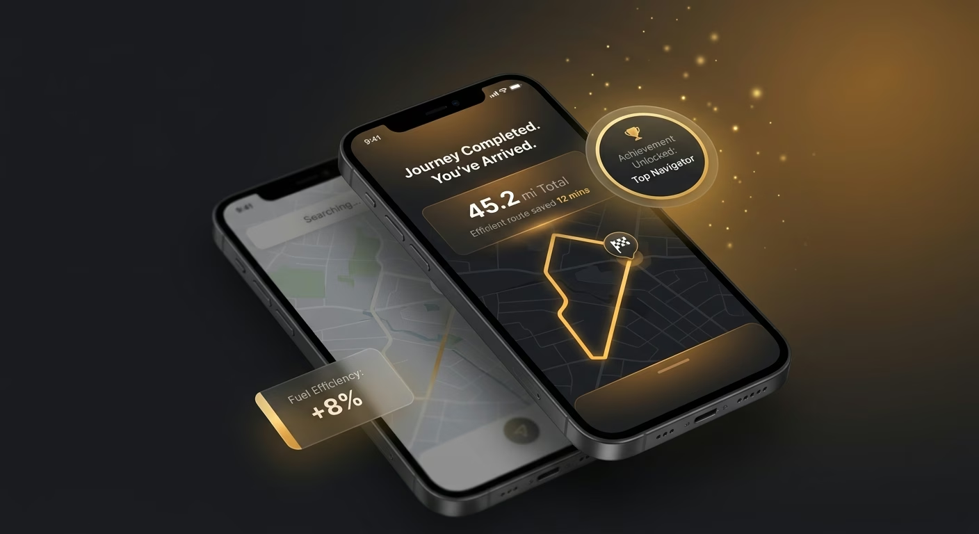
Directions tuned to the mode traveling
Car, truck, bike, and walking profiles compute correctly, so guidance matches the mode and prevents costly wrong turns.
How Emergent Turns Your Idea Into an App
Create a map app that manages map rendering, layer management, point of interest, route directions, and map operations from one platform.




Build Maps That Genuinely Serve the Use Case
Give teams the geographic engine generic embeds never provide.

End-to-end app development for your business
Turn ideas and spreadsheets into fully functional internal apps your team can actually use, not just plan on paper.
 Describe, don’t code:Write what you need in plain language and instantly generate the layout, components, and logic.
- Full UI in one go:Create full pages with forms, tables, filters, and charts in a single automated pass.
- Use the data you already have:Connect your spreadsheets or datasets quickly and turn them into interactive dashboards.
Tiles rendered in styles that fit the brand
Default tiles feel generic. Rendering infrastructure supports full style customization so maps carry the visual identity around them.
- Custom style specifications
- Vector and raster tile support
- Dark and light mode variants
- Retina display optimization
End-to-end app development for your business
Turn ideas and spreadsheets into fully functional internal apps your team can actually use, not just plan on paper.
- Describe, don’t code:Write what you need in plain language and instantly generate the layout, components, and logic.
- Full UI in one go:Create full pages with forms, tables, filters, and charts in a single automated pass.
- Use the data you already have:Connect your spreadsheets or datasets quickly and turn them into interactive dashboards.
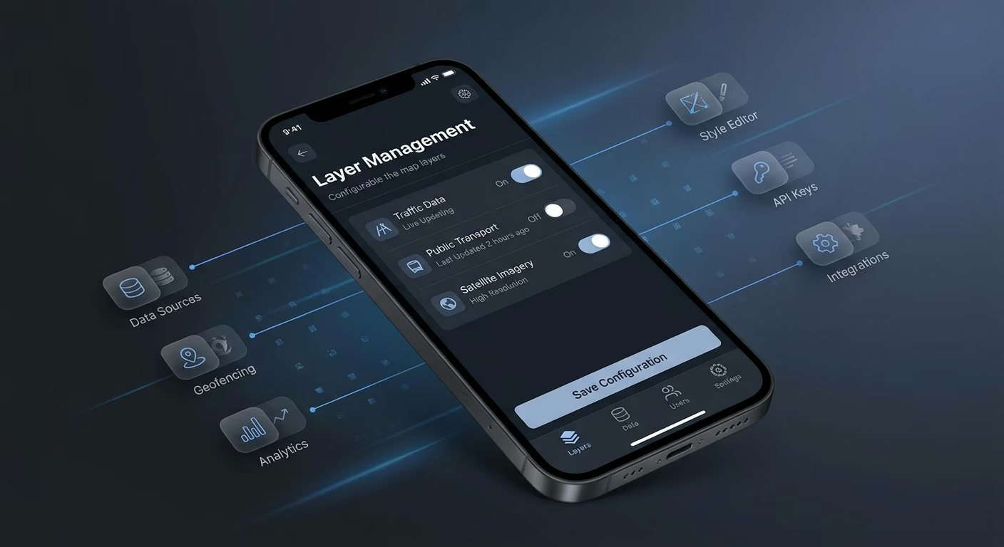
Layers switched on and off freely
Single-layer maps hide insight. Layer infrastructure supports multi-layer stacking with opacity and visibility control so users see patterns geography alone cannot show.
- Multi-layer stacking
- Opacity and visibility controls
- Layer group management
- Toggle-based layer switching
End-to-end app development for your business
Turn ideas and spreadsheets into fully functional internal apps your team can actually use, not just plan on paper.
- Describe, don’t code:Write what you need in plain language and instantly generate the layout, components, and logic.
- Full UI in one go:Create full pages with forms, tables, filters, and charts in a single automated pass.
- Use the data you already have:Connect your spreadsheets or datasets quickly and turn them into interactive dashboards.
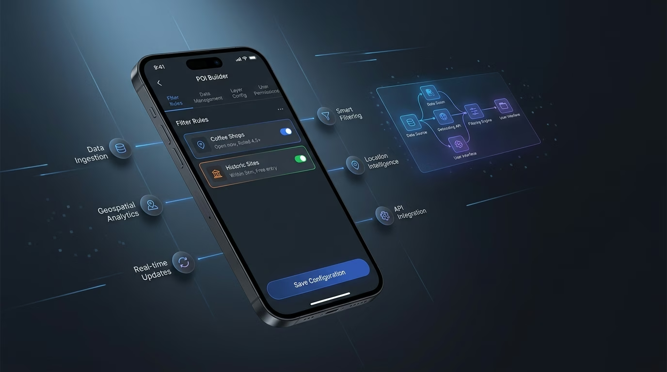
Points of interest surfaced with the right filters
Cluttered pins overwhelm. POI infrastructure filters by category, distance, and attribute so users find exactly what they came looking for.
- Category-based filtering
- Distance and radius filters
- Attribute-based search
- Clustered marker display
End-to-end app development for your business
Turn ideas and spreadsheets into fully functional internal apps your team can actually use, not just plan on paper.
- Describe, don’t code:Write what you need in plain language and instantly generate the layout, components, and logic.
- Full UI in one go:Create full pages with forms, tables, filters, and charts in a single automated pass.
- Use the data you already have:Connect your spreadsheets or datasets quickly and turn them into interactive dashboards.
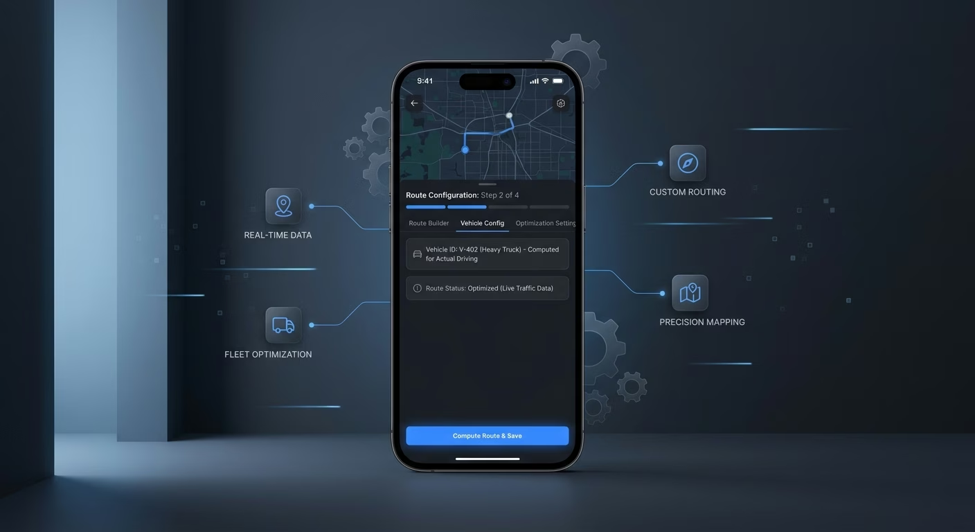
Routes computed for the vehicle actually driving
One-size routing fails specialized needs. Direction infrastructure supports car, truck, bike, and walking profiles so guidance matches the traveler.
- Multi-mode routing profiles
- Truck restriction respect
- Alternate route suggestions
- Turn-by-turn instructions
Connect Your Geography Stack

Tiles & Layers
Coordinate map tile providers and layer overlays across one workspace
- Map tile providers
- Layer overlay tools
- Style specification services
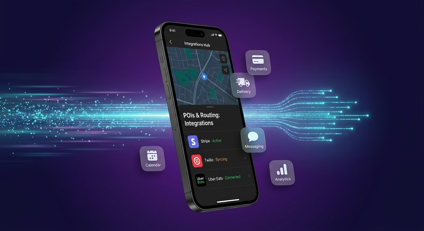
POIs & Routing
Sync point-of-interest databases and routing engines across every rendered view
- POI database APIs
- Routing engine services
- Geocoding tools
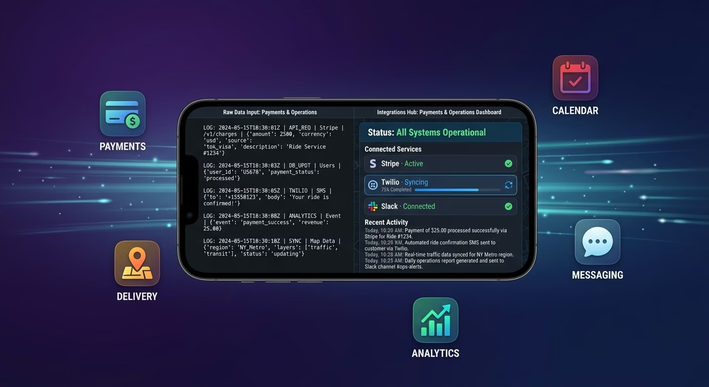
Payments & Operations
Connect Stripe, PayPal or Razorpay and operational tools through APIs
- Payment infrastructure
- Subscription tools
- Map operations systems
Tiles And Trips, Connected
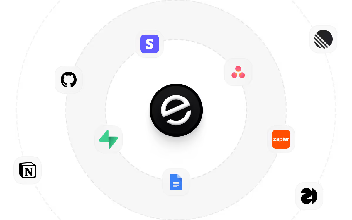
Utility fades when map tiles, layer overlays, and routing data scatter across disconnected tools, so Emergent connects external systems through APIs and everything stays aligned as coverage expands.

How to Create a Map App
Create a map app that manages map rendering, layer management, point of interest, route directions, and map operations from one platform.
01 Choose the right app building approach
You can hire a developer, use a traditional app builder, or use an AI-powered platform like Emergent. AI app builders help map founders and geo teams launch and manage map apps without technical complexity or extended development timelines.
02 Plan your rendering and layer workflows
Decide how tiles should render, how layers should stack, how POIs should surface, how routes should compute, and how users should navigate before building.
03 Build your map app
Describe your base style, layer priorities, POI categories, and routing needs, and the app is generated around your actual geography workflows.
04 Add rendering systems and layer workflows
Set up map rendering, layer management, point of interest, and route directions so raw geography becomes useful navigation.
05 Connect payments and operational tools
Connect payment gateways like Stripe, PayPal, or Razorpay alongside map tile providers, layer overlay tools, POI database APIs, and notification infrastructure to support map operations. On Emergent, these systems can be connected easily through APIs.
06 Test the app before publishing
Check map rendering, layer management, point of interest, route directions, mobile performance, and user experience before launch.
07 Publish and grow your map app
Launch the app and continue managing tiles, layers, and routes as coverage expands.
Turn Raw Geography Into Real Utility
Map apps built for specific use cases capture engagement generic embeds never earn, while cookie-cutter integrations leave users bouncing to competitors with better geographic tooling.
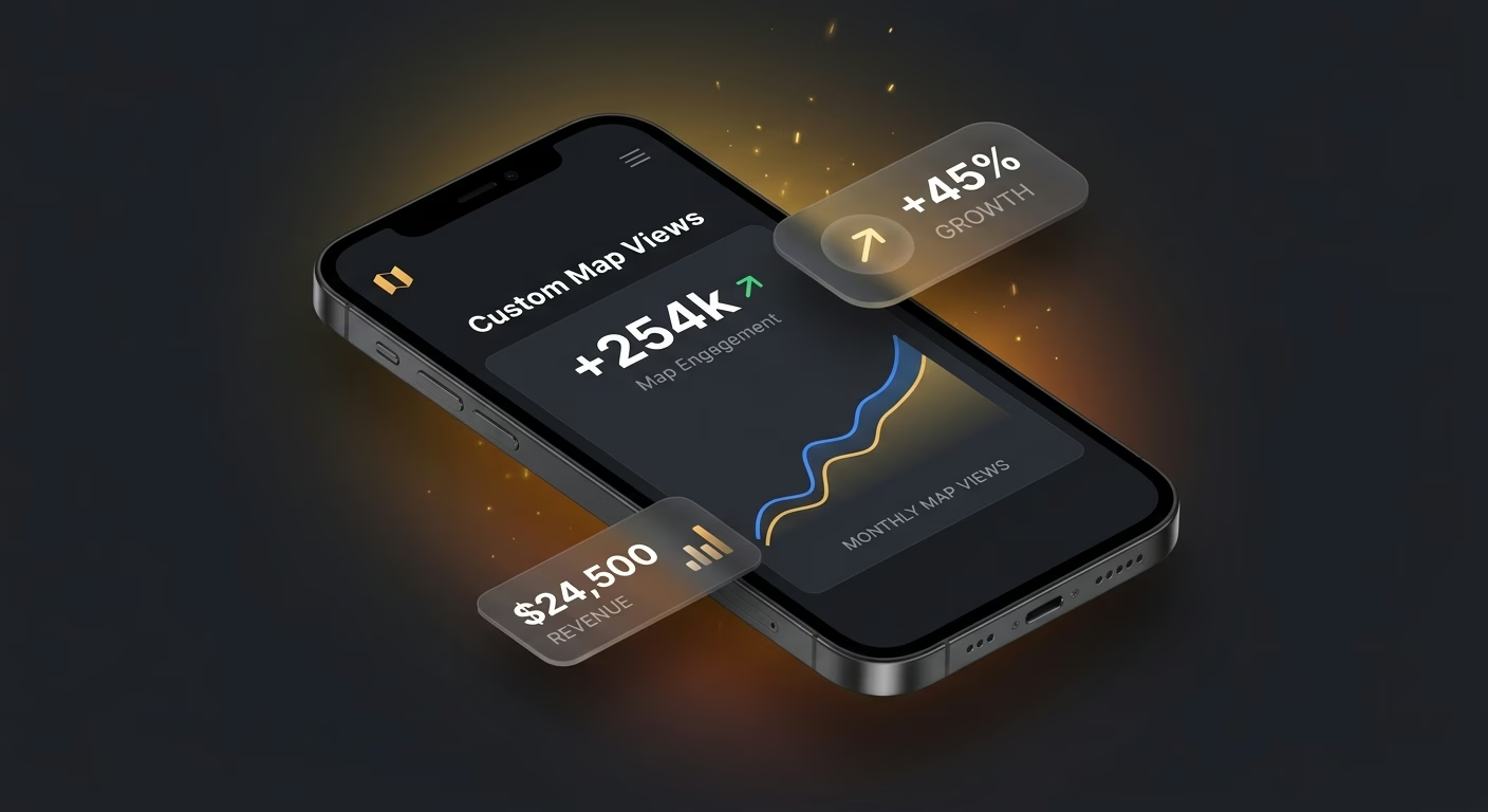
Custom rendering beats generic embed styling
A brand pasting the default map style loses aesthetic control, and the platform that supports full styling turns geography into a branded experience worth returning to.
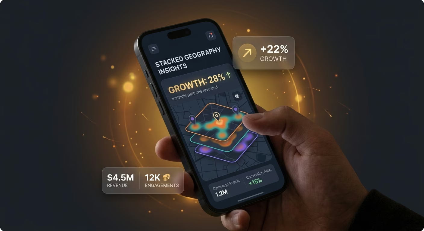
Stacked geography reveals invisible patterns
A raw map cannot show delivery zones, competitor locations, and service coverage together, and the layer engine that stacks these overlays reveals patterns rivals miss entirely.
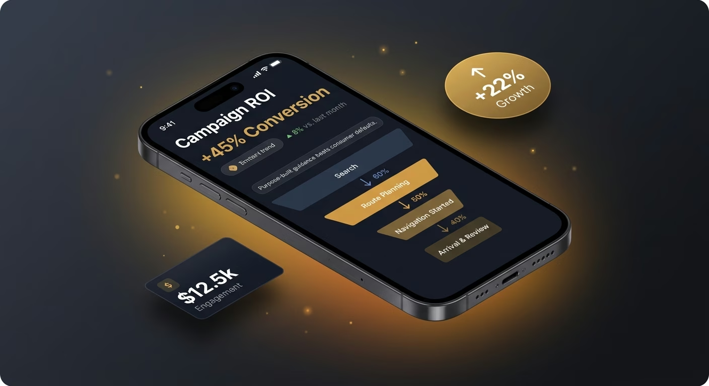
Purpose-built guidance beats consumer defaults
A logistics app relying on car routing sends trucks under low bridges, and the routing engine tuned to specific vehicle profiles keeps users out of costly errors.
Pick the Pricing Plan That Works for You
Choose the plan that fits your building ambitions. From weekend projects to enterprise applications, we've got you covered.




Find the Right App Builder
for Your Business
Frequently Asked Questions
Your Questions, Answered
Don't change this element unless you know what you are doing
on Emergent today