Build a Construction Site Survey App That Records Field Conditions With Total Accuracy with AI
Create your construction site survey app in minutes with AI. Power point capture, condition recording, field sketches, and survey reporting without coding.










Why Emergent for Construction Site Survey Apps?
Field notes scribbled on site rarely survive the trip back. On Emergent, describe what you need and it builds your construction site survey app.
| Traditional Builders |  |
|
|---|---|---|
| Creation & Setup | Limited templates with lengthy setup and multiple manual steps | Fully customizable construction site survey app created instantly using plain English prompts |
| Design | Limited design flexibility | AI-driven, personalized design layouts that match your firm |
| Field Data | No point, condition, or sketch fields | Capture points, conditions, and sketches natively using prompts |
| Custom Domain | Requires purchasing a domain and manual DNS configuration setup | Just share your domain. We handle DNS setup with SSL included |
| Time to Launch | Can take up to days and weeks | Launch in just a few minutes to hours |
| Payment & Checkout | Limited plugins and integrations | Accept global payments in any currency by connecting gateways with API keys |
| Survey Reports | Findings typed up back at the office | Generate survey reports from field data using prompts |
| SEO | Basic tools with heavy manual effort | Improve SEO instantly using prompts. No technical setup needed |
| Scaling | Limited scalability with performance constraints and risk of data loss | Scale your app anytime by reopening the chat and expanding with prompts |
| Maintenance & Updates | Requires manual updates, bug fixes, and ongoing management | Easily update and improve your app anytime using simple prompts |

Why Construction Site Survey Apps Stick
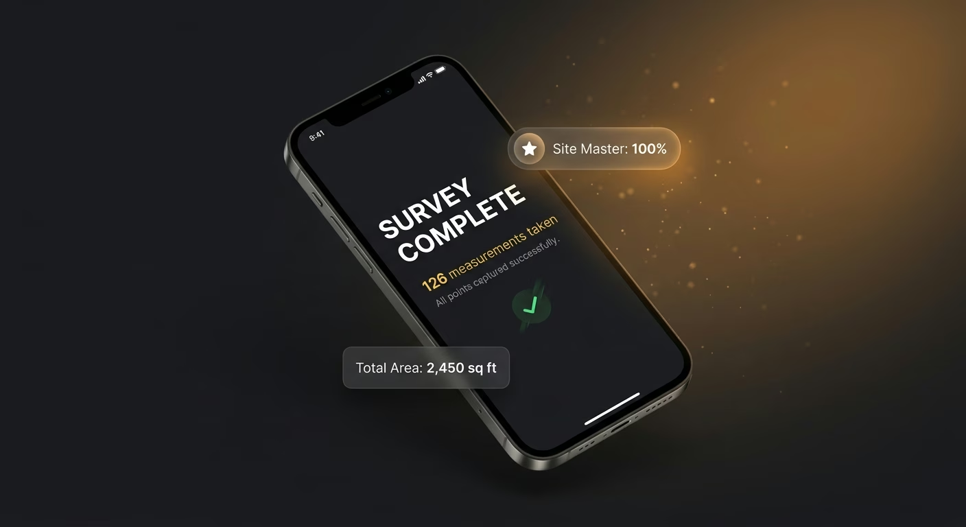
Site measurements taken cleanly
Digital tools capture dimensions, elevations, and notes together, so nothing rides home on a scribbled tape measure.
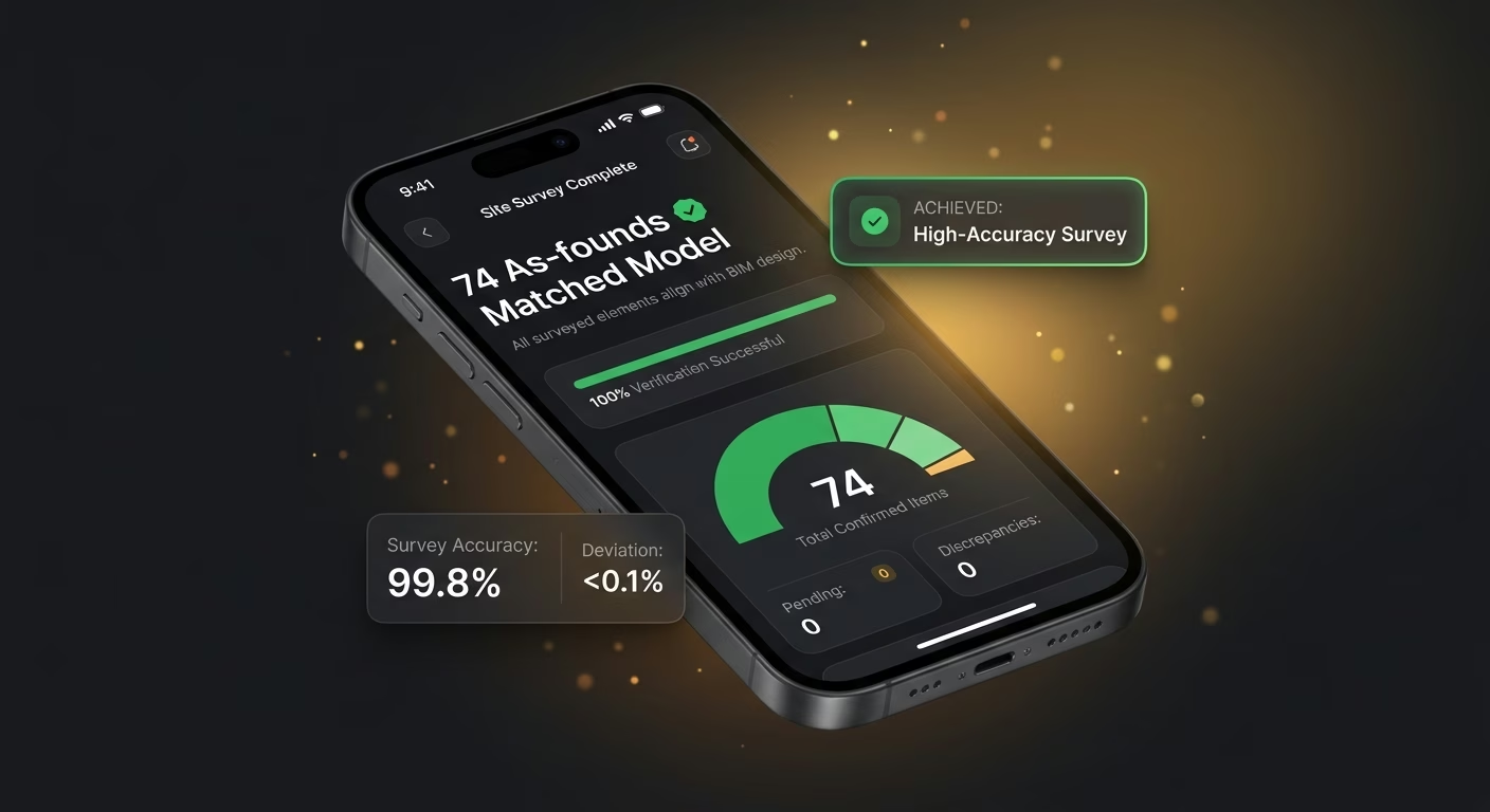
As-founds that match the model
Surveyed data feeds the drawings directly, so design decisions rest on real conditions.

A record the design team can trust
Photos and points anchor to the location, so verifications and RFIs settle from evidence.
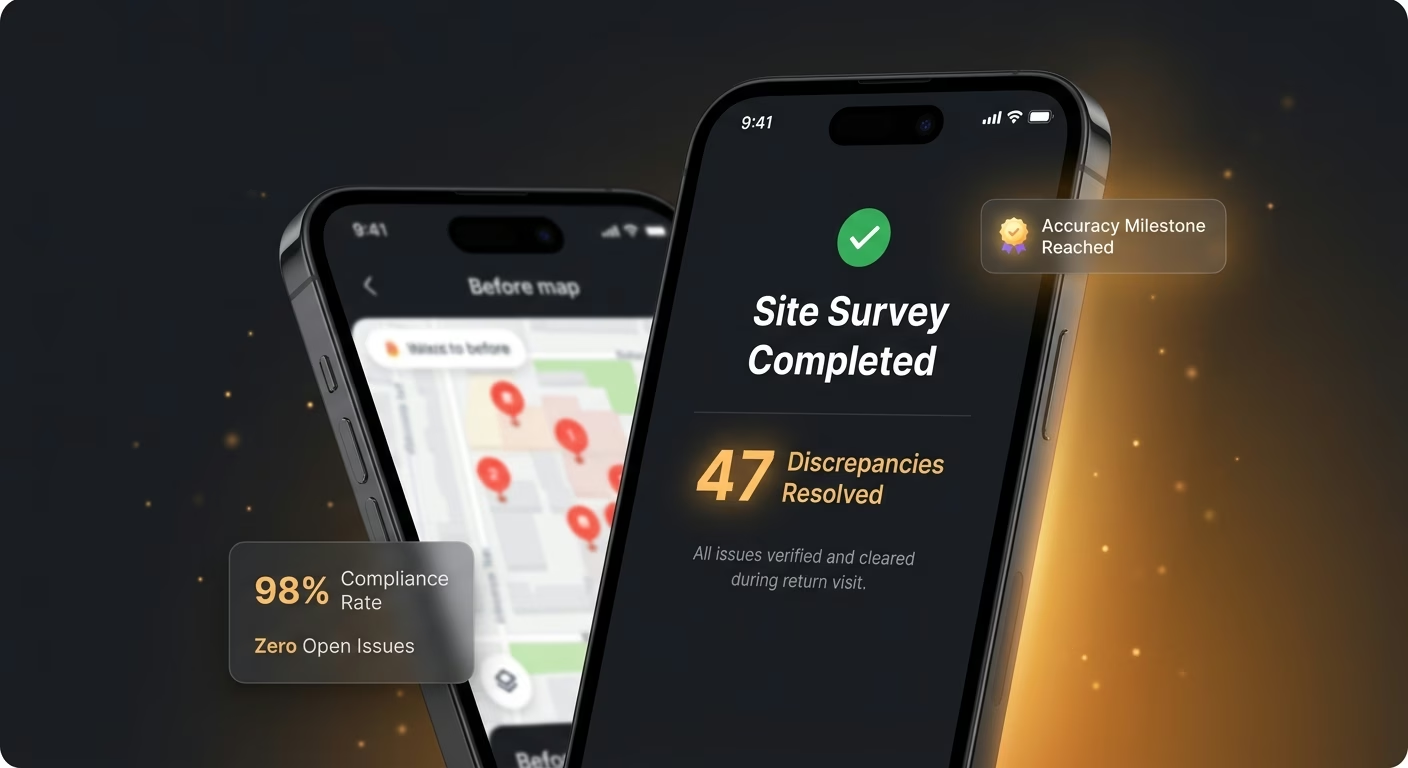
Return visits that catch every discrepancy
Prior surveys overlay against current, so changes get flagged instead of quietly missed.
How Emergent Turns Your Idea Into an App
Create a construction site survey app that manages point capture, condition recording, field sketches, survey reporting, and survey operations from one platform.




Record the Field Exactly as You Find It
Capture each observation on site so positions, states, and drawings reach the office as faithfully as they were taken.

End-to-end app development for your business
Turn ideas and spreadsheets into fully functional internal apps your team can actually use, not just plan on paper.
 Describe, don’t code:Write what you need in plain language and instantly generate the layout, components, and logic.
- Full UI in one go:Create full pages with forms, tables, filters, and charts in a single automated pass.
- Use the data you already have:Connect your spreadsheets or datasets quickly and turn them into interactive dashboards.
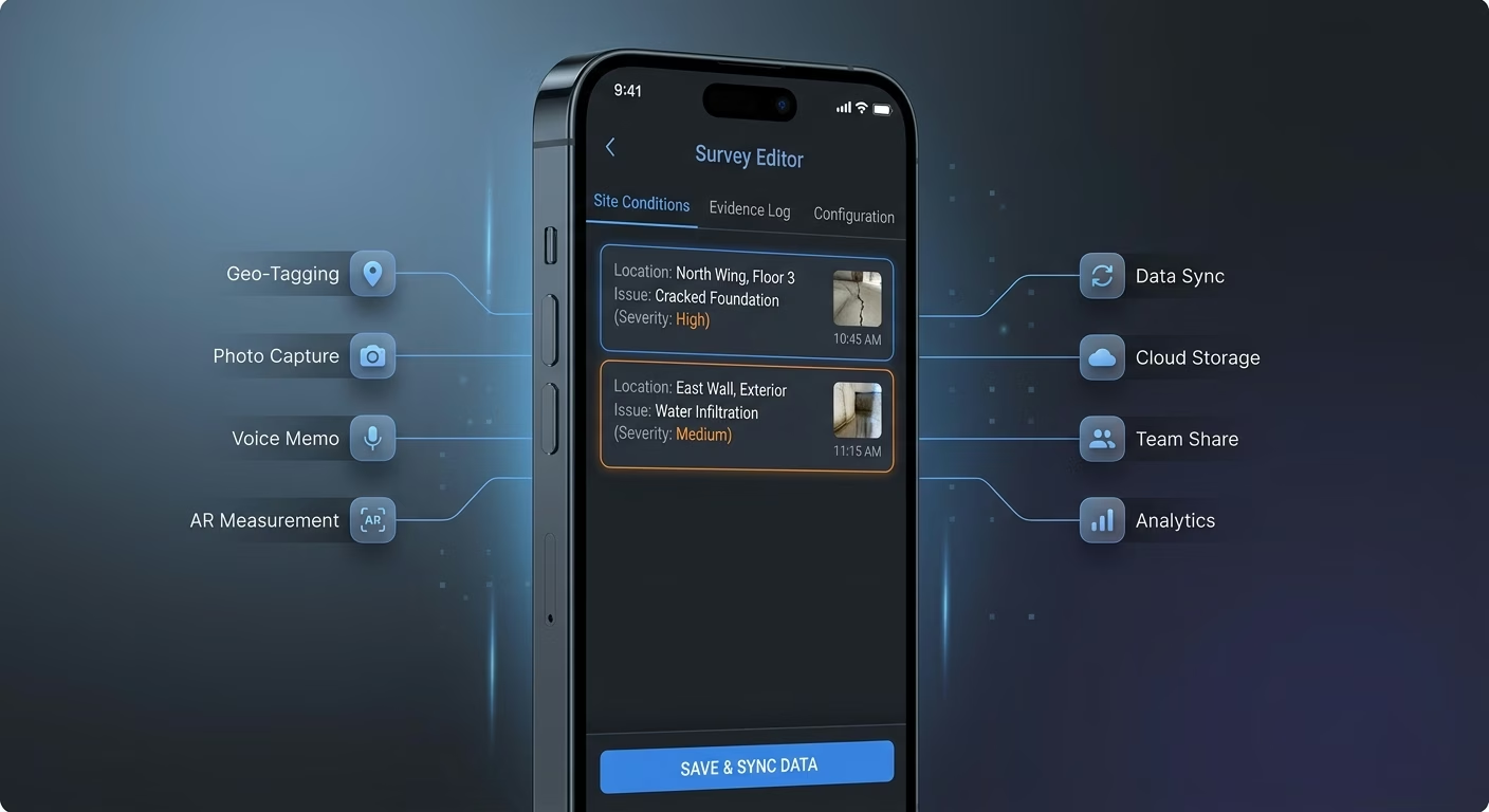
Points captured with their coordinates
Hand-jotted positions drift. Capture infrastructure records each point with its coordinates so the location on file matches the ground precisely.
- Coordinate logging
- Instrument linking
- Point classification
- Accuracy tagging
End-to-end app development for your business
Turn ideas and spreadsheets into fully functional internal apps your team can actually use, not just plan on paper.
- Describe, don’t code:Write what you need in plain language and instantly generate the layout, components, and logic.
- Full UI in one go:Create full pages with forms, tables, filters, and charts in a single automated pass.
- Use the data you already have:Connect your spreadsheets or datasets quickly and turn them into interactive dashboards.
Conditions recorded with evidence
Remembered states fade. Recording infrastructure documents each condition with notes and photos so the assessment rests on what was actually observed.
- Condition notes
- Photo attachment
- Severity rating
- Category tagging

End-to-end app development for your business
Turn ideas and spreadsheets into fully functional internal apps your team can actually use, not just plan on paper.
- Describe, don’t code:Write what you need in plain language and instantly generate the layout, components, and logic.
- Full UI in one go:Create full pages with forms, tables, filters, and charts in a single automated pass.
- Use the data you already have:Connect your spreadsheets or datasets quickly and turn them into interactive dashboards.
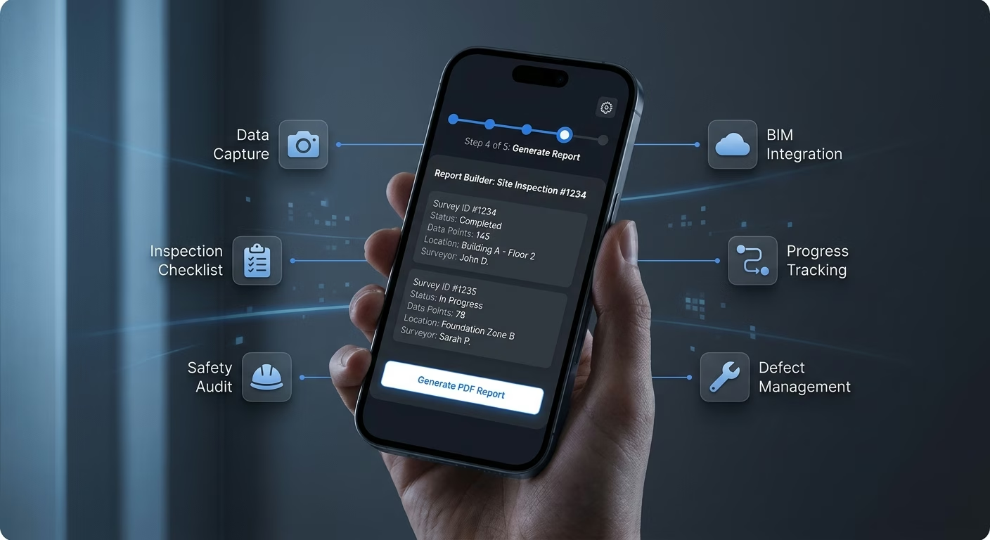
Sketches drawn straight on site
Memory rebuilds badly. Sketch infrastructure lets the surveyor draw the layout in the field so spatial relationships are captured while standing in them.
- Freehand drawing
- Annotated dimensions
- Reference overlays
- Markup tools
End-to-end app development for your business
Turn ideas and spreadsheets into fully functional internal apps your team can actually use, not just plan on paper.
- Describe, don’t code:Write what you need in plain language and instantly generate the layout, components, and logic.
- Full UI in one go:Create full pages with forms, tables, filters, and charts in a single automated pass.
- Use the data you already have:Connect your spreadsheets or datasets quickly and turn them into interactive dashboards.
Reports built from the captured data
Retyping invites error. Reporting infrastructure assembles each deliverable from the field records so the output reflects the source without manual rekeying.
- Auto-compiled findings
- Template formatting
- Photo inclusion
- Export options
Connect Your Survey Stack
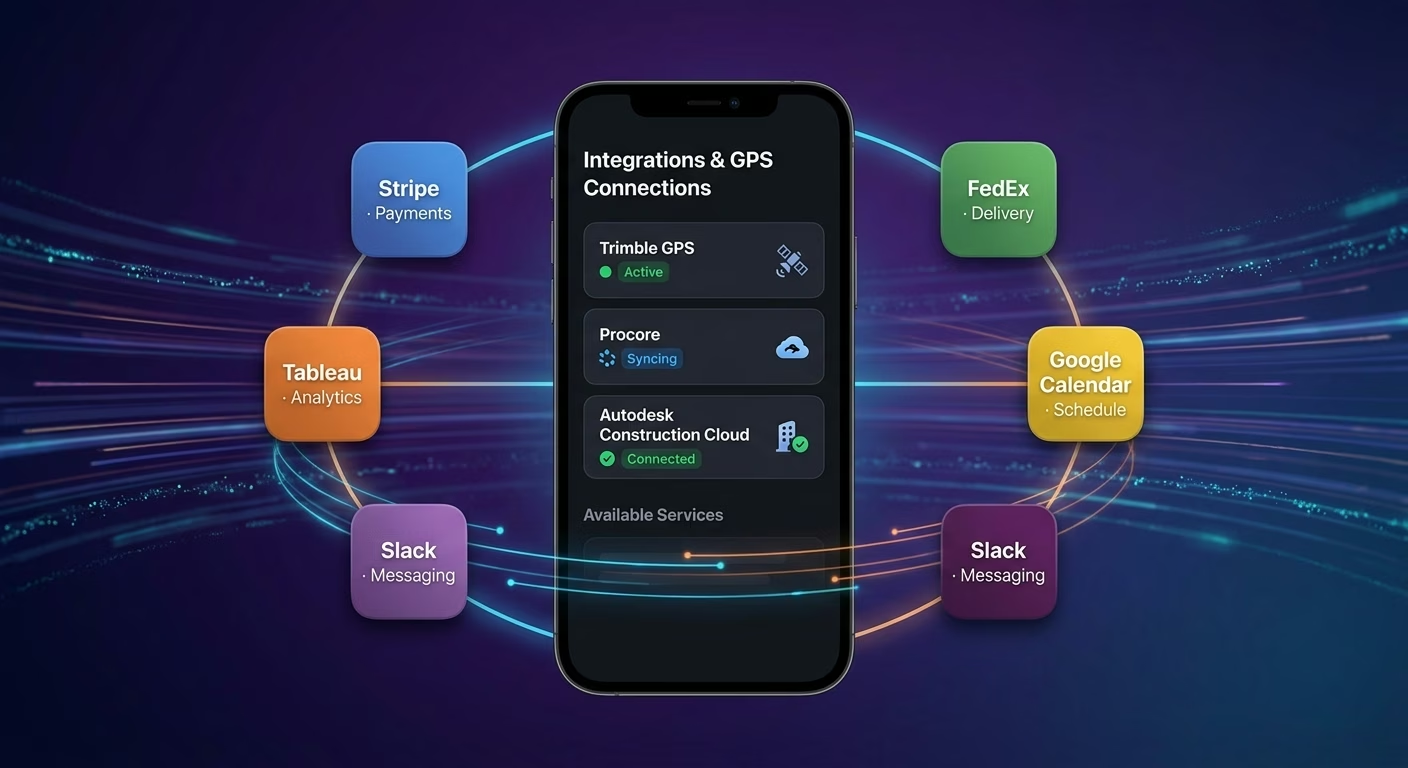
Instruments & GPS
Coordinate survey instruments, receivers, and rovers across one connected workspace
- Survey instrument feeds
- GPS receiver tools
- Rover data systems

Plans & Basemaps
Sync base maps and design plans across every captured point
- Base map platforms
- Design plan tools
- Coordinate reference systems

Payments & Operations
Connect Stripe, PayPal or Razorpay and operational tools through APIs
- Payment infrastructure
- Invoicing tools
- Survey operations systems
Points And Conditions, Connected
Field data erodes when captured points, recorded conditions, and survey sketches scatter across disconnected tools, so Emergent connects external systems through APIs and everything aligns as surveys grow.


How to Create a Construction Site Survey App
Create a construction site survey app that manages point capture, condition recording, field sketches, survey reporting, and survey operations from one platform.
01 Choose the right app building approach
You can hire a developer, use a traditional app builder, or use an AI-powered platform like Emergent. AI app builders help surveyors and field teams launch and manage survey apps without technical complexity or extended development timelines.
02 Plan your point and condition workflows
Decide how points should capture, how conditions should record, how sketches should draw, how reports should generate, and how teams should review before building.
03 Build your construction site survey app
Describe your point types, condition categories, sketch needs, and report formats, and the app is generated around your actual survey workflows.
04 Add point systems and condition workflows
Set up point capture, condition recording, field sketches, and survey reporting so every field observation reaches the office intact.
05 Connect payments and operational tools
Connect payment gateways like Stripe, PayPal, or Razorpay alongside survey instrument feeds, base map platforms, GPS receiver tools, and team communication infrastructure to support survey operations. On Emergent, these systems can be connected easily through APIs.
06 Test the app before publishing
Check point capture, condition recording, field sketches, survey reporting, mobile performance, and surveyor experience before launch.
07 Publish and grow your construction site survey app
Launch the app and continue managing points, conditions, and sketches as the survey grows.
Turn Field Notes Into Reliable Records
Surveyors who capture points, conditions, and sketches digitally on site deliver records that hold up while scribbled notes blur, vanish, or get misread back at the office.

Digital capture survives the trip back
A field note scrawled on a damp pad smudges before it reaches the office, and the surveyor whose app records each observation digitally delivers data that arrives exactly as it was taken.

Documented findings defend the assessment
A claim about what the site looked like rests on memory unless it was documented, and the surveyor whose app captures conditions with photos and notes backs every finding with hard evidence.

Field-assembled output reaches clients faster
A survey that has to be retyped at the office delays the deliverable for days, and the surveyor whose app assembles the report from field data hands the client findings while rivals are still transcribing.
Pick the Pricing Plan That Works for You
Choose the plan that fits your building ambitions. From weekend projects to enterprise applications, we've got you covered.




Find the Right App Builder
for Your Business
Frequently Asked Questions
Your Questions, Answered
Don't change this element unless you know what you are doing
on Emergent today